Hike Ærø!
Update - November 2025
The local authorities have done a good job of repairing the extensive damage caused by the huge storm in October 2023. As far as I can see all the paths are now in good shape.
The new Ærø hiking map is a significant improvement on the old one. You can pick up a copy on the ferry or the tourist office.————————————————————————————————————————————
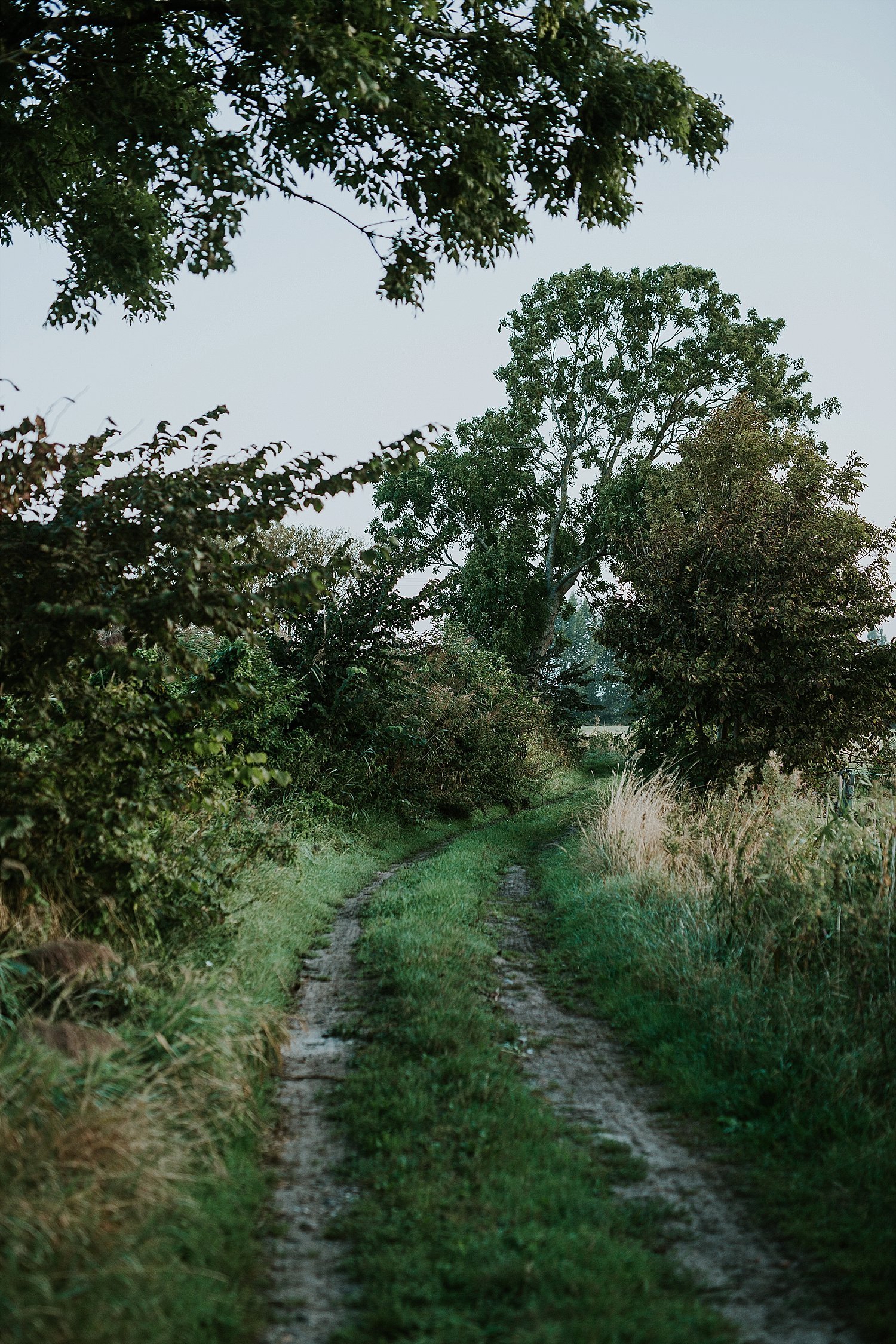
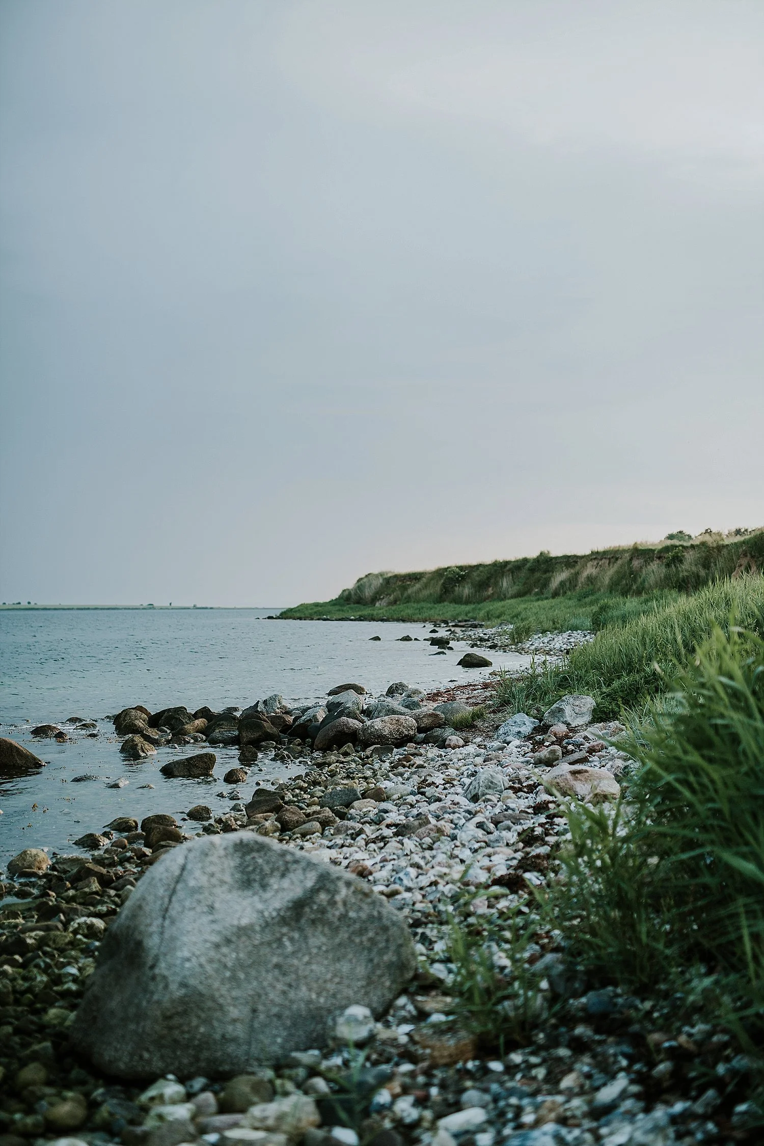
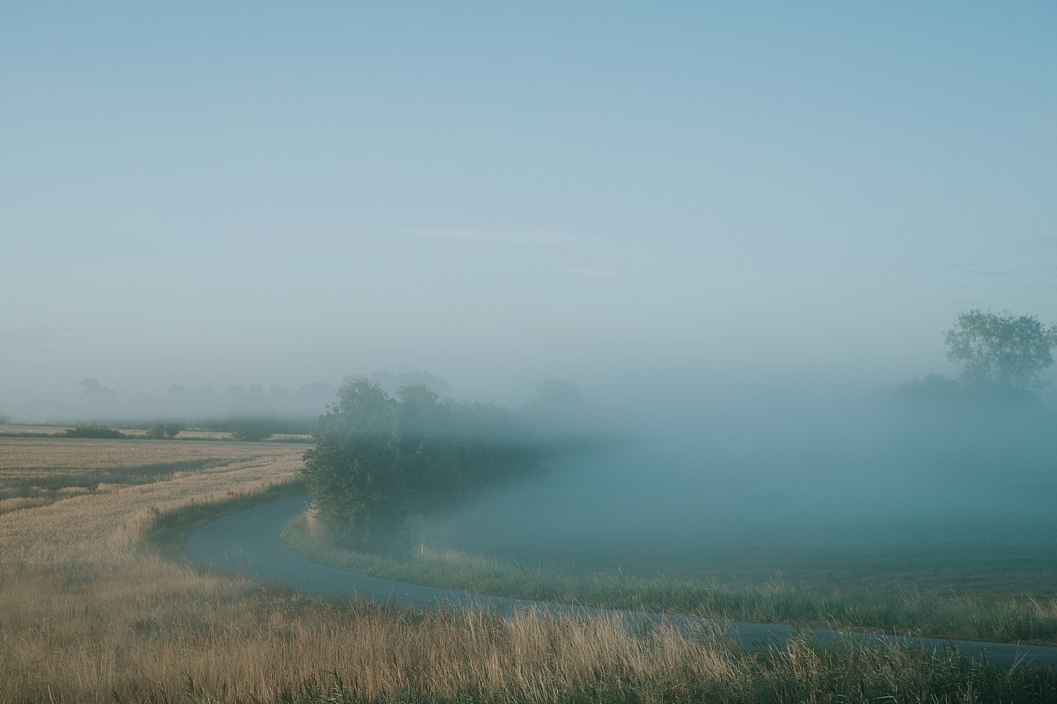
Ærø is a great location for walking and hiking. The island has some of the best scenery in Denmark, with brilliant views of the sea, the little islands of the archipelago, and the rolling countryside. It also has some extraordinary history, including the old forts built to stop attacks by Wendish raiders in the 11th century, a major Viking trading centre, the historic port of Marstal, and the “fairytale town” of Ærøskøbing.Welcome to “Hike Ærø”.
My name is John, and I love hiking on our beautiful island. I created this website just for fun, and in the hope of encouraging others to get out there and walk on Ærø!
A big advantage here is the free bus service which runs the length of the island. That means it is easy to reach start and finish points or modify the routes to suit yourselves, and the walks are never too far from the bus route. The island is criss-crossed with good paths and quiet back roads, there is very little traffic even on the bigger roads, and none of the walking is very difficult.
This site contains a collection of walks:
there are five 2 hour and one 3+ hour “loops” which use existing pathways. They are ideal for an afternoon outing with the family, and, in the tradition of English “pub walks”, where possible they start and finish at a suitable watering hole.
the Øhavssti (Archipelago Way) is part of the much longer (220km) route around South Funen. The whole route is excellent and the Ærø section (35 km) is one of the best parts. There is a good guidebook for the whole route - The Archipelago Way, by Jesper Vagn Christensen - which I recommend.
the Kyststi (Coast Path) is a fairly new route which sticks mainly to the west coast of Ærø. It is lovely, but I have some suggested improvements to the official trail. There is no “official” guide for this route.
the Round Ærø is a 64 km trail which I have devised by incorporating the best of the Øhavssti and the Kyststi, but with suggestions to optimise the experience and avoid duplicating some bits of the official routes.
some additional shorter “family walks” which you can find in the blog, & also linked on Alltrails.
You can see the routes using the ‘Guide’ button on each trail’s page, which takes you to the Alltrails app. The basic Alltrails app is free. You can then navigate using Alltrails. It works pretty well - MUCH better than Google Maps (don’t even try!). On the Alltrails map I strongly recommend using the OSM map layer. See also the Blog for some thoughts on Alltrails.
Using Alltrails on your smartphone is fairly simple but maybe not intuitive. I suggest downloading the route somewhere with good internet before you set off.
Find the route (on this website) that you want to walk, and then click on the “guide” button
The Alltrails map for that route will appear
Ideally, “download for offline nav” and select OSM (a map with a good level of detail for walking on)
Click the symbol bottom right of the map and choose OSM to navigate on
Click the 3 dot symbol top right and choose “navigate using this route”
Choose “hiking”
Start walking
Click on the yellow waypoint dots as you go for directions and information

When to walk - the trails can be walked at any time, but there can be snow in winter of course, and the snowdrifts can be surprisingly deep even when there is only 1 or 2 cm in the towns. In winter many of the restaurants will be closed, and in high season (July) Ærøskøbing is busy and you need to book accommodation and restaurants in good time. Do check the weather using the Danish met site, and think about wind direction. For the walks with beach sections check also the sea level - if it is over a 60cm higher than usual it may be difficult to walk on the beaches (relevant for the Round Ærø and the Marstal Loop in particular). We don’t have proper tides in the Baltic but the sea level changes a lot, due mainly to the wind.
The Øhavssti and Kyststi are pretty well signposted with waymarkers on short posts. Much of the Round Ærø can be done following these markers, except for the departure west out of Marstal and the bits near Søby. There are no markers for the loop routes.
The standard Ærø hiking map of Ærø has just been reissued and is a significant improvement on the old one. I can’t see it online yet but you can pick one up on the ferry or at the tourist office. There is also an actual Øhavssti map which you can get from the tourist office as well; it is OK but also messy with too much extraneous stuff on, but is worth taking for the information on history, nature, and sights en route.
In case of emergency the standard phone number is 112 - we have good services on Ærø, including a hospital and helicopter service.